951-699-2603 lcf@linkline.com

Land Surveying Services

Call NowRequest a Quote

A land survey should be performed prior to: purchasing real property, dividing a parcel of land or any type of construction–to avoid disputes and additional costs in the future.

A.L.T.A. Survey

An A.L.T.A. survey is completed to supply a title company and lender with survey and location information necessary for issuing American Land Title Association or Extended Coverage Title  Insurance.

Topographic Survey

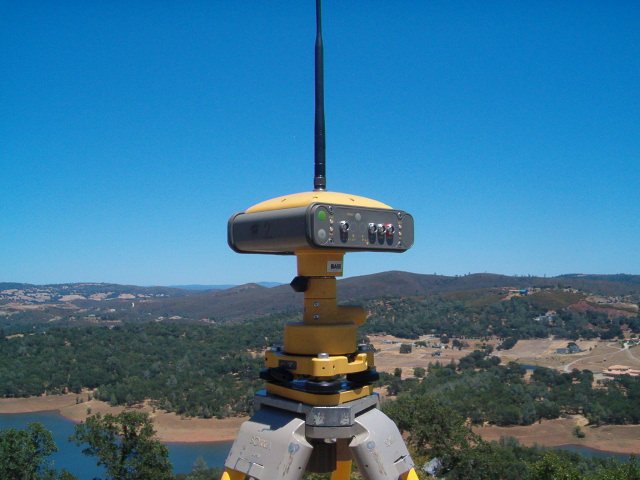
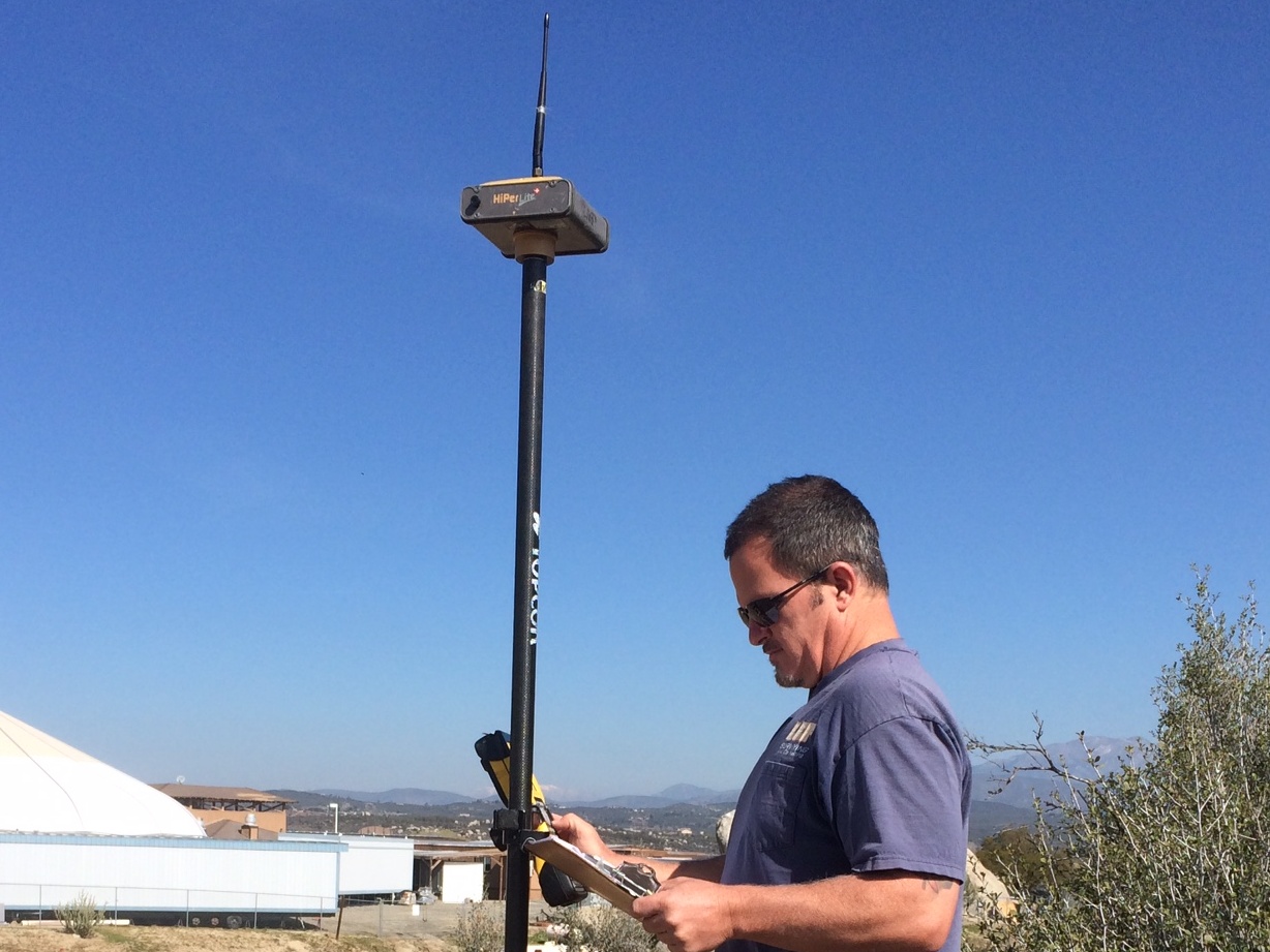
A topographic survey locates natural and man-made features like buildings, improvements, fences, elevations, trees, streams, and contours of the land related to the boundary utilizing GPS, conventional or UAV (drone) technology. This map is used by civil engineers and architects for design purposes. 

Boundary Survey

A boundary survey locates the corners, boundary lines and/or easements on a parcel of land. This includes record research, deed and map calculations, field reconnaissance and measurements to establish boundary lines.

Encroachment Survey

An encroachment survey consists of establishing property lines and accurately locating all encroaching improvements adjacent to the nearest property line.

Cost

The cost of a land survey is based on the following:

  • Record research

  • Complexity of legal description

  • Size and shape of property

  • Sectionalized survey work

  • Terrain and vegetation

  • Amount of existing evidence on the property

  • Local knowledge of the property

  • Abutter difficulties

  • Title company requirements

  • Requirements of Record of Survey or Corner Record
Subdivision Survey

A subdivision survey is used to divide a tract of land into smaller parcels, showing monumentation and survey information on a map, in conformance to local ordinances and the Subdivision Map Act.

UAV Drone Survey

A UAV (drone) topographic survey is utilized for larger, complex or hard to access properties. It provides a comprehensive, accurate and cost effective representation of the topography of your entire property including overlap onto neighboring properties.

Solar Design Survey

A solar design survey consists of a topographic survey for ground mount solar systems or building rooftop systems. We will work in close coordination with the solar design team.

Construction Survey

A construction survey is used for construction staking of improvements shown on improvement plans for control of construction on developments for roads, buildings, pipelines and more.

Free Phone Consultation

Call today to discuss your project with a Licensed Land Surveyor.