MAPS:
Click to Expand
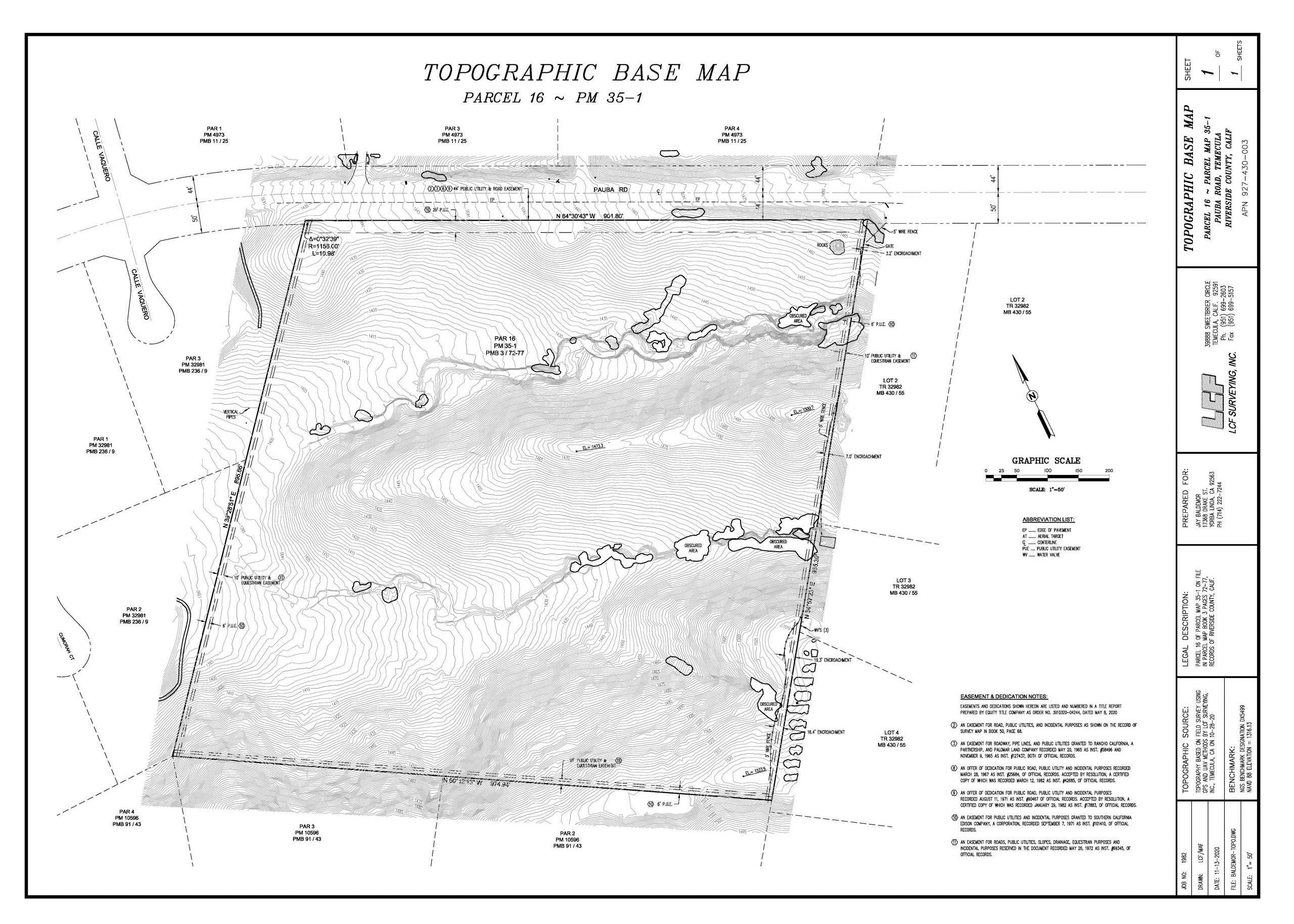
TOPOGRAPHIC MAP
A “Topographic Map” is a detailed map based on a field survey using either or a combination of Conventional, GPS or UAV (drone) survey methods and technology. The map will show the boundary line, easements, contour lines, spot elevations, heavy brush, trees, roads, driveways, fences, and improvements to the land.
ENCROACHMENT EXHIBIT
An “Encroachment Exhibit” is signed and sealed court ready diagram based on a field survey showing a property line and any improvements or other encroachments in relation to the property line.
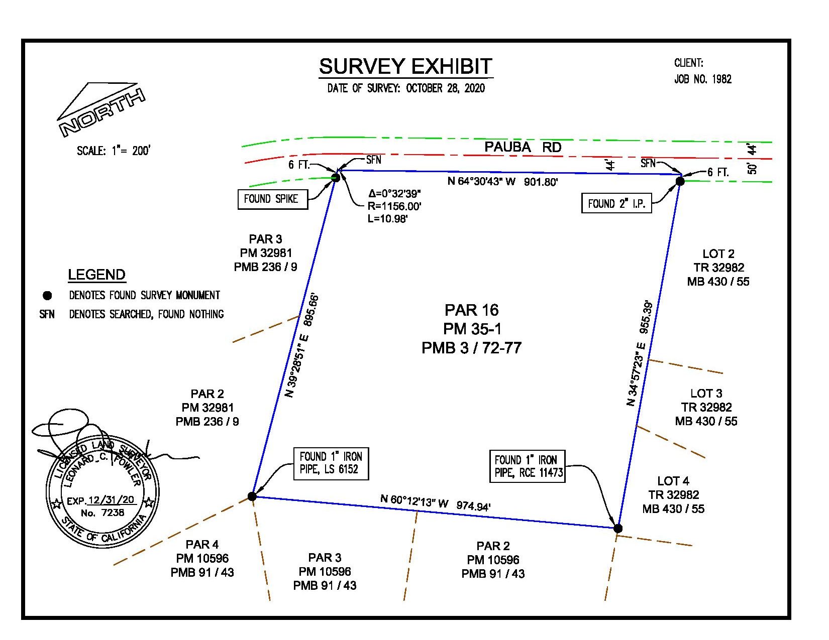
SURVEY EXHIBIT
A “Survey Exhibit” is a signed and sealed diagram prepared a Licensed Land Surveyor showing the results of a field survey.
RECORD OF SURVEY
A “Record of Survey” is a map filed and recorded with the local agency when monuments are set at property corners, unless the boundary has been monumented as part of a land division with a recorded map and/or if there is material discrepancy found during the field survey.
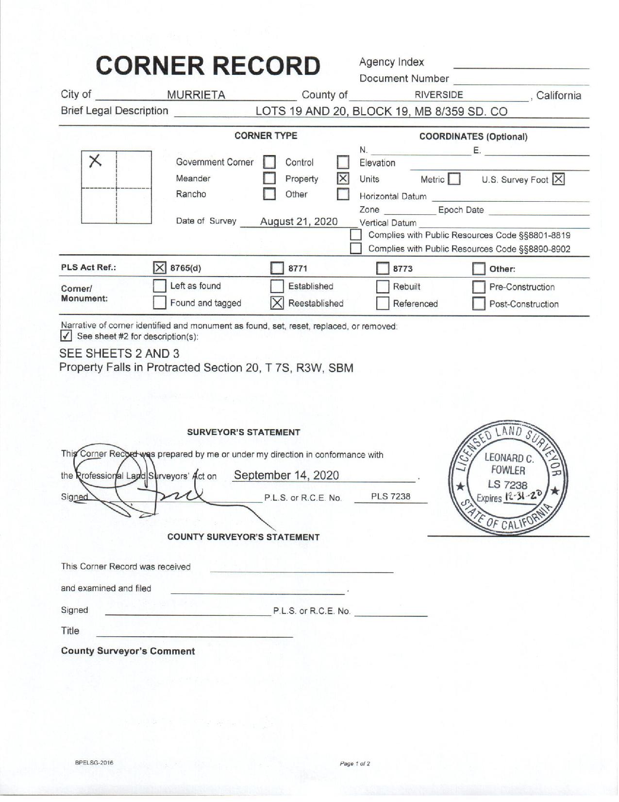
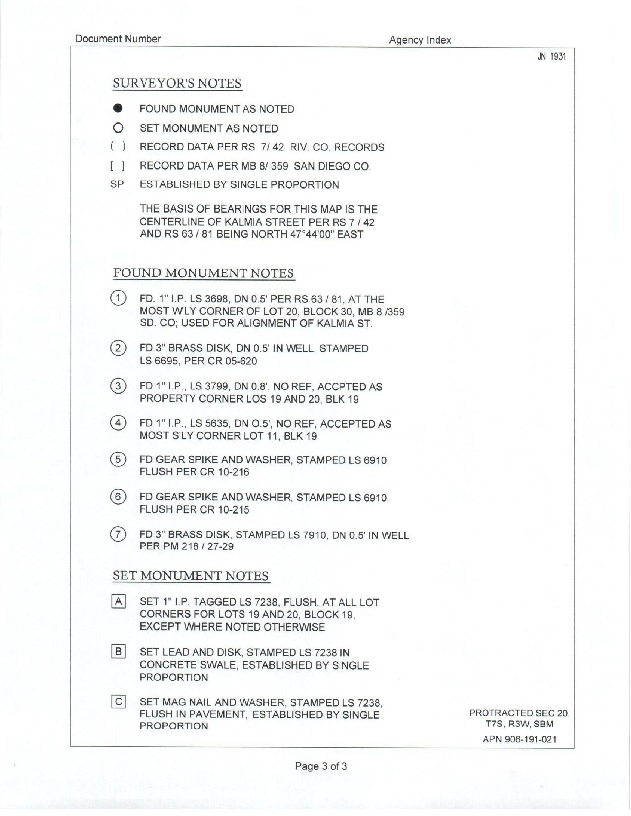
CORNER RECORD
A “Corner Record” is a map filed with the County Surveyor when monuments are set or replaced at points previously shown on a subdivision map, official map or record of survey. This map is not recorded but kept on file with the County Surveyor.
TENTATIVE MAP
A “Tentative Map” is an unrecorded map processed through the local planning department that is prepared prior to preparation and recordation of a Final Parcel Map or Final Tract Map. Essentially a Tentative Map provides enough information to allow for the local planning department to issue “Conditions of Approval” for the preparation and filing of a Final Map.
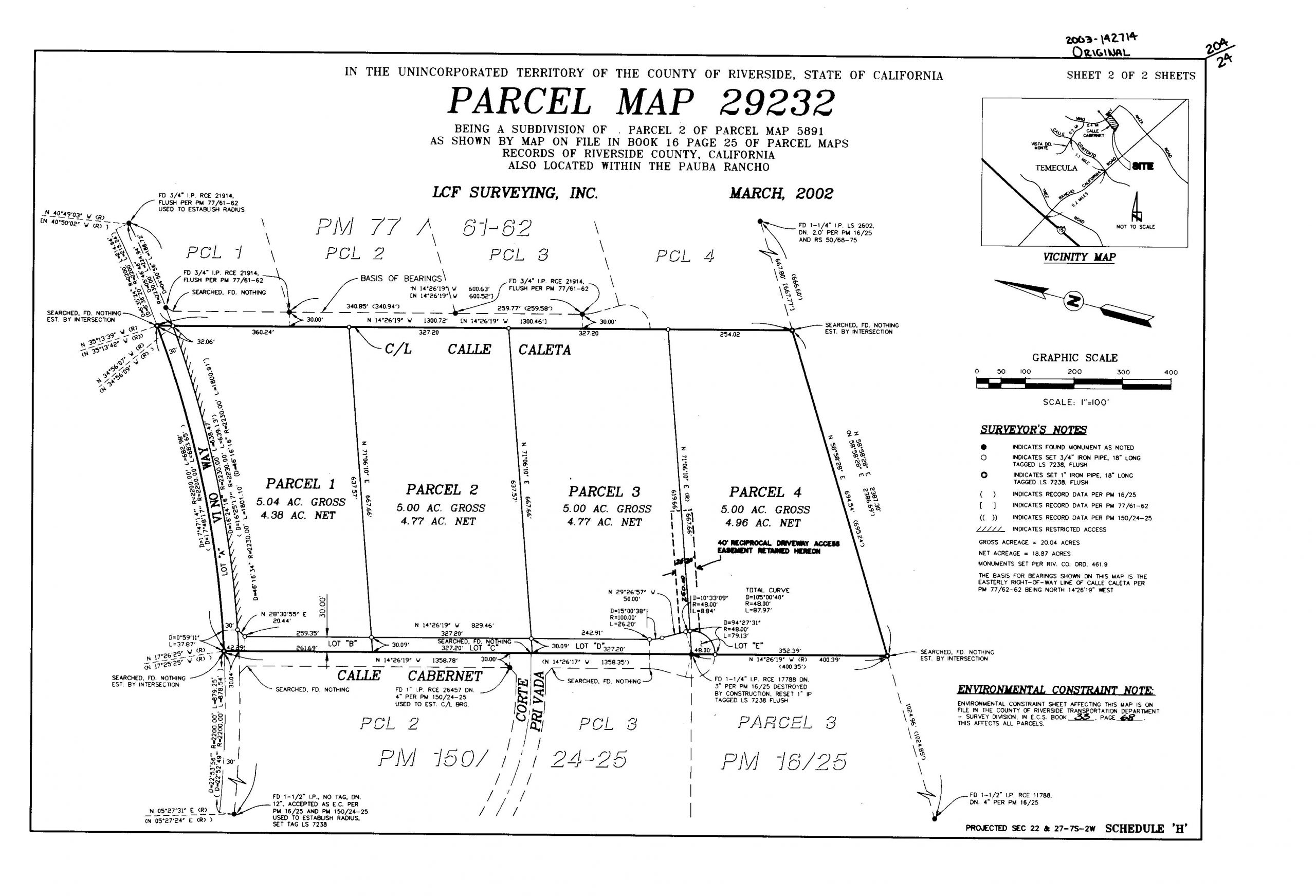
PARCEL MAP
A “Parcel Map” is the subdivision of a larger parcel of land into 4 or fewer parcels. The Parcel Map process involves the approval of a Tentative Parcel Map and the recordation of a Final Parcel Map. All “Conditions of Approval” must be satisfied and fees paid prior to the recordation of the map.
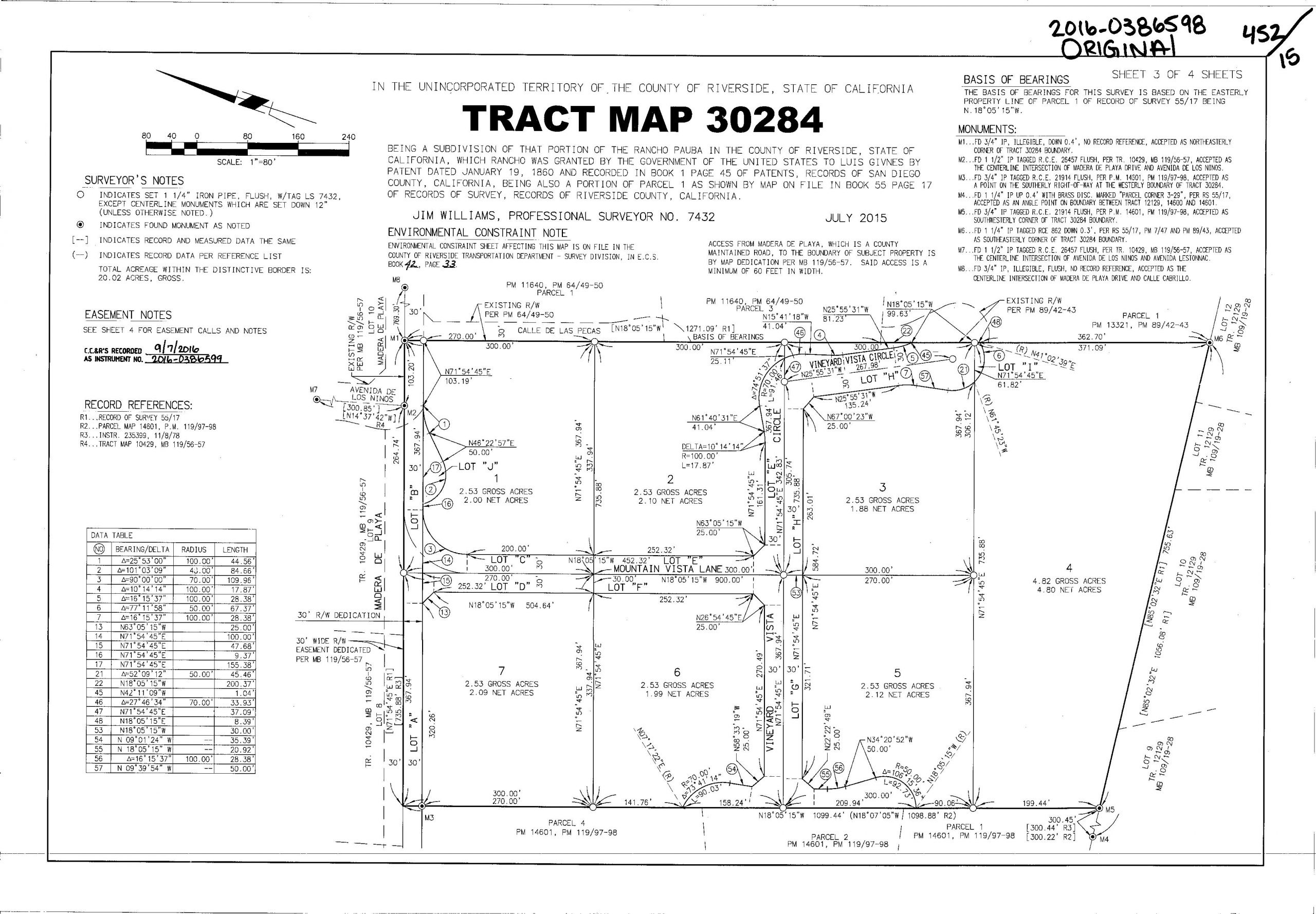
TRACT MAP
A “Tract Map” is the subdivision of a larger parcel of land into 5 or more parcels. The Tract Map process involves the approval of a Tentative Tract Map and the recordation of a Final Tract Map. All “Conditions of Approval” must be satisfied and fees paid prior to the recordation of the map.
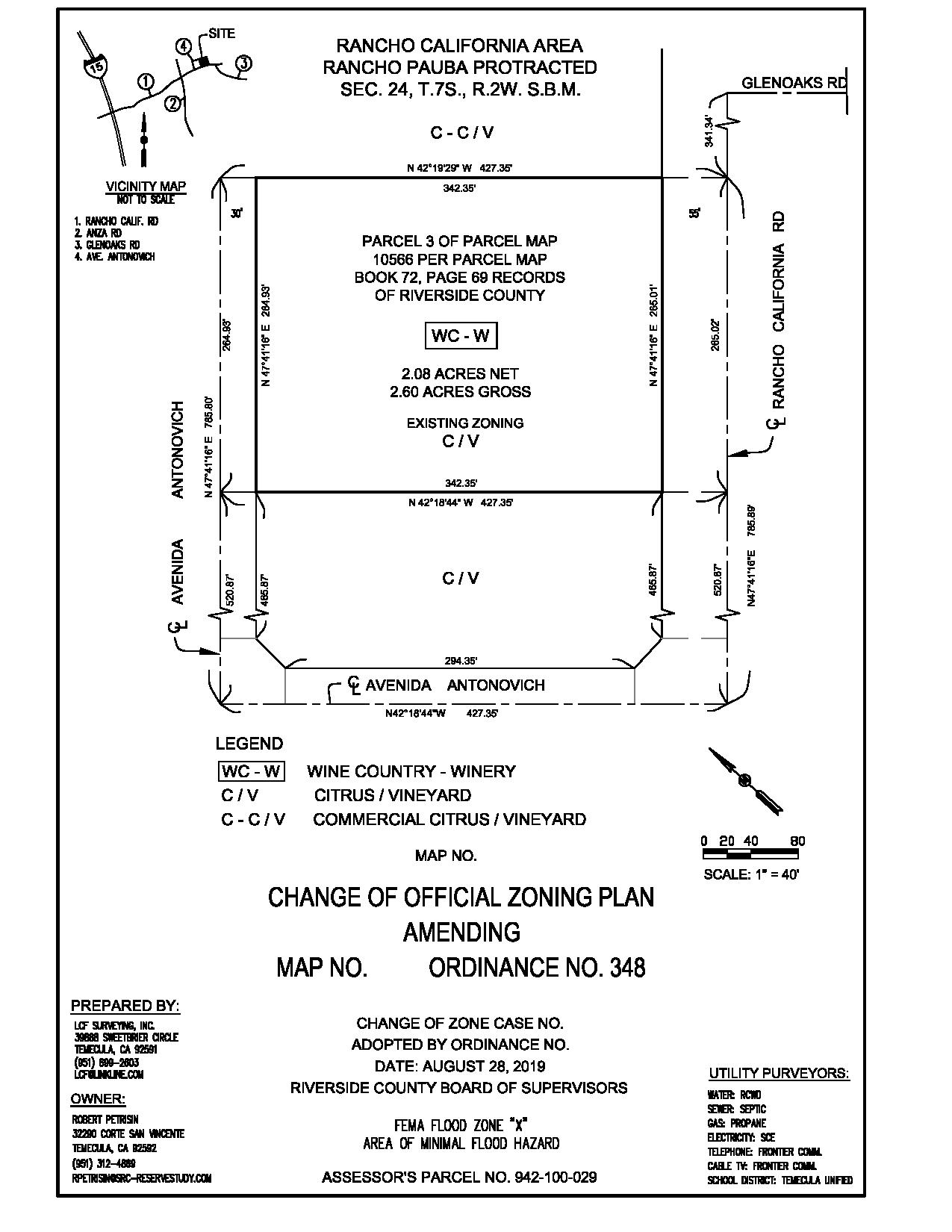
CHANGE OF ZONE PLAT
A “Change of Zone Plat” shows the current, proposed and adjacent properties and zones and is used to accompany a change of zone application.
LEGAL DOCUMENTS:
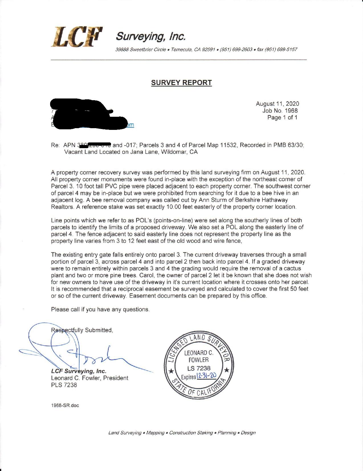
SURVEY REPORT
A “Survey Report” is a written document prepared by a Licensed Land Surveyor detailing the results of a field survey.
LOT LINE ADJUSTMENT
A “Lot Line Adjustment” is a modification of a boundary line between two or more adjacent legal parcels where the modification creates no new parcels, no existing parcels are deleted and no parcel is reduced below the minimum lot area for that zoning.
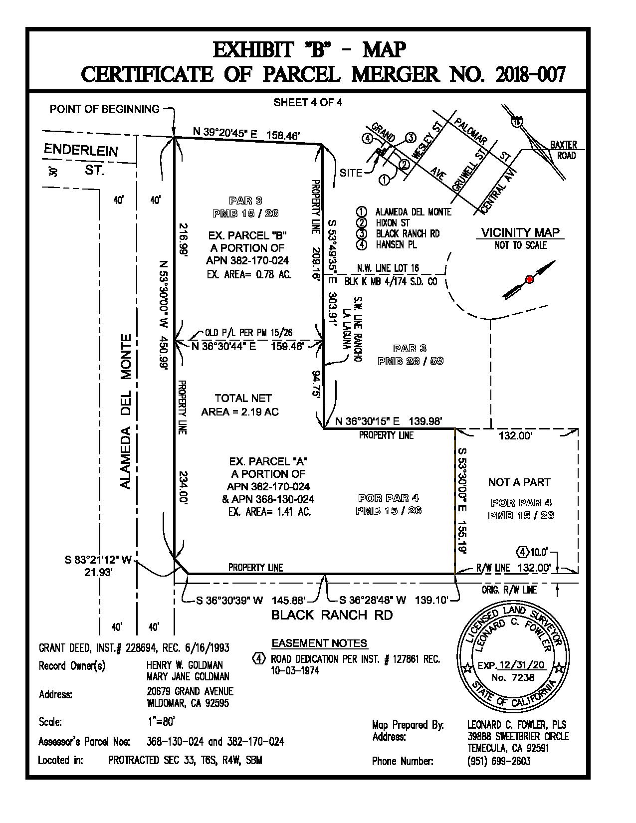
PARCEL MERGER
A “Parcel Merger” is the merging of two or more contiguous parcels or units, which are held by the same owner or owners.
CERTIFICATE OF COMPLIANCE
A “Certificate of Compliance” is an application made through the local agency to determine if the real property is in compliance with the Subdivision Map Act and local ordinances in order to permit the sale, lease, finance or subdivision of such real property.
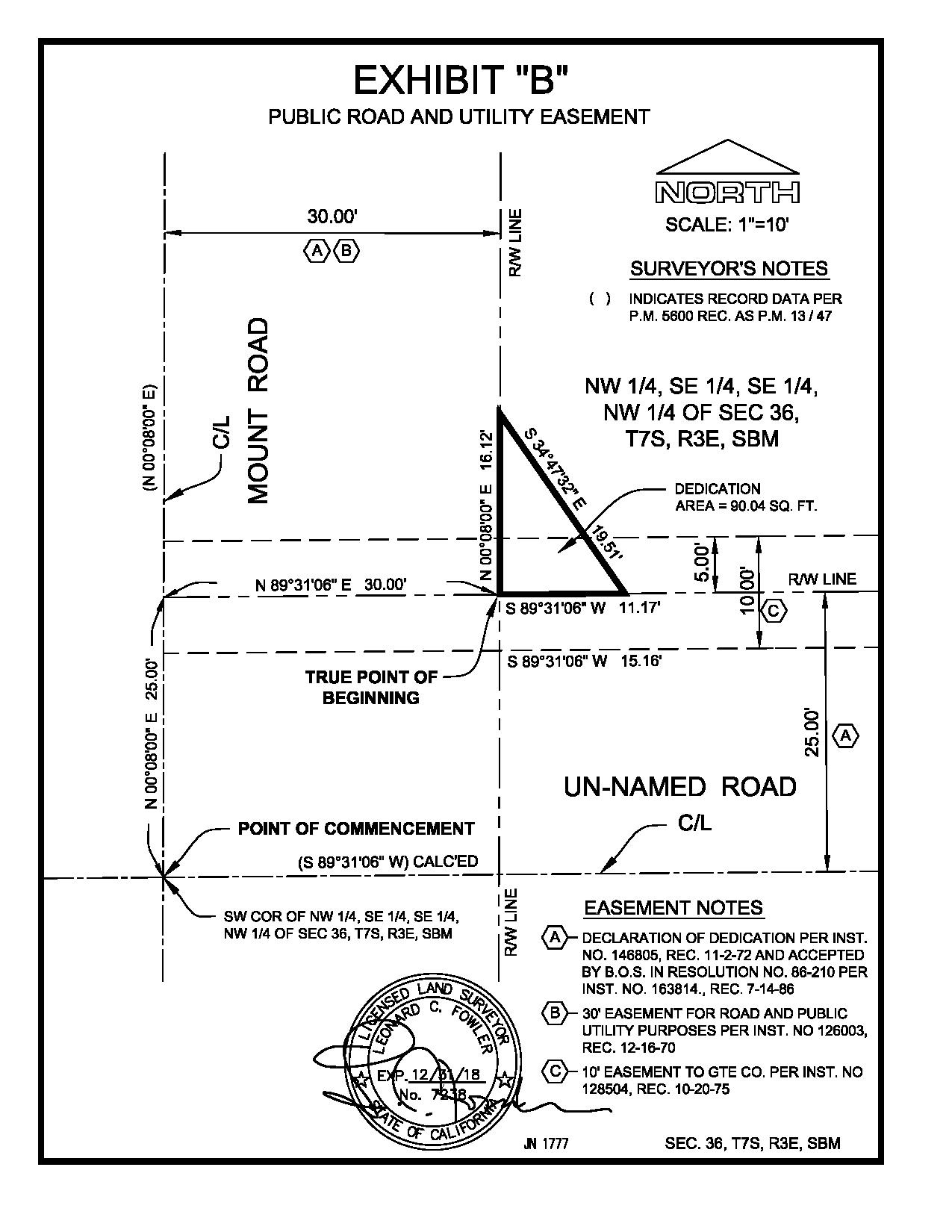
ROADWAY DEDICATION
A “Roadway Dedication” is an application made through the local agency together with an exhibit and legal description to dedicate a portion of private real property for public access and use.
ROADWAY VACATION
A “Roadway Vacation” is an application made through the local agency to abandon an easement or dedicated right of way. It must be agreed upon by all adjacent property owners and may not eliminate all access to any real property.
PRIVATE EASEMENT
A “Private Easement” is a document which includes a legal description and plat prepared by a Licensed Land Surveyor that determines the exact location and purpose of an easement agreed upon by two land owners.
GRANT DEED
A “Grant Deed” is a document with a precise legal description that grants a parcel of land from one individual or entity to another.
ELEVATION CERTIFCATE
An “Elevation Certificate” is a document prepared by a Licensed Land Surveyor that lists a building’s location, lowest point of elevation, flood zone and other characteristics, according to the Federal Emergency Management Agency (FEMA). It is used to enforce local building ordinances and to help determine flood insurance rates.
